You must log in or # to comment.
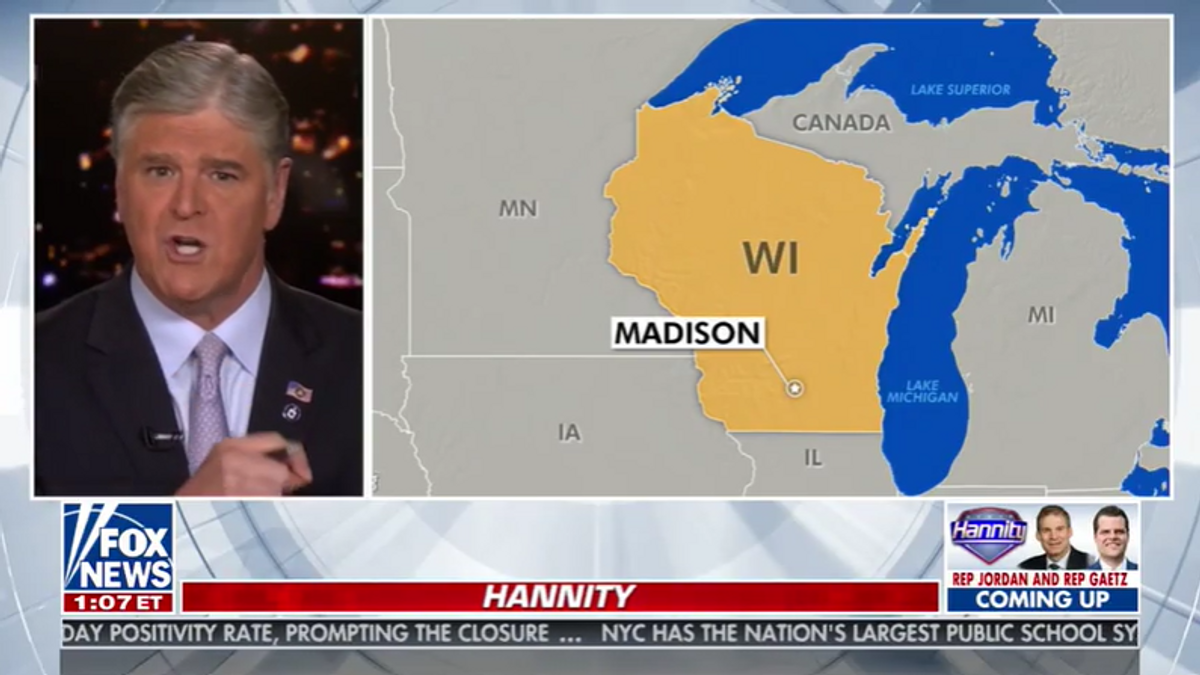
In Michigan Upper Peninsula, Canada, the people per capita is 0, since nobody lives in Canada, obviously.

Apologies, can you color code the states so that it’s easier to read?
Is there another map showing territories like Puerto Rico and Guam? I would like to see how they compare

