End-of-drive rear HazCam, looking down the rim wall slope it has been climbing since it left Neretva Vallis.
Credits NASA/JPL-Caltech
You must log in or # to comment.
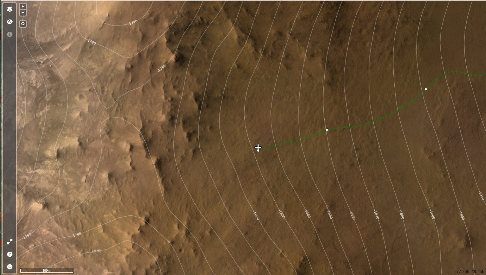
Screenshot of the ESA orbital map, here we can see the 10 meters contour lines and the summit of the crater wall (left side of the map)
Image credits:
HRSC: ESA/DLR/FU-BERLIN, CC BY-SA 3.0 IGO
CTX: NASA/JPL-Caltech/MSSS
HiRISE: NASA/JPL/University of Arizona

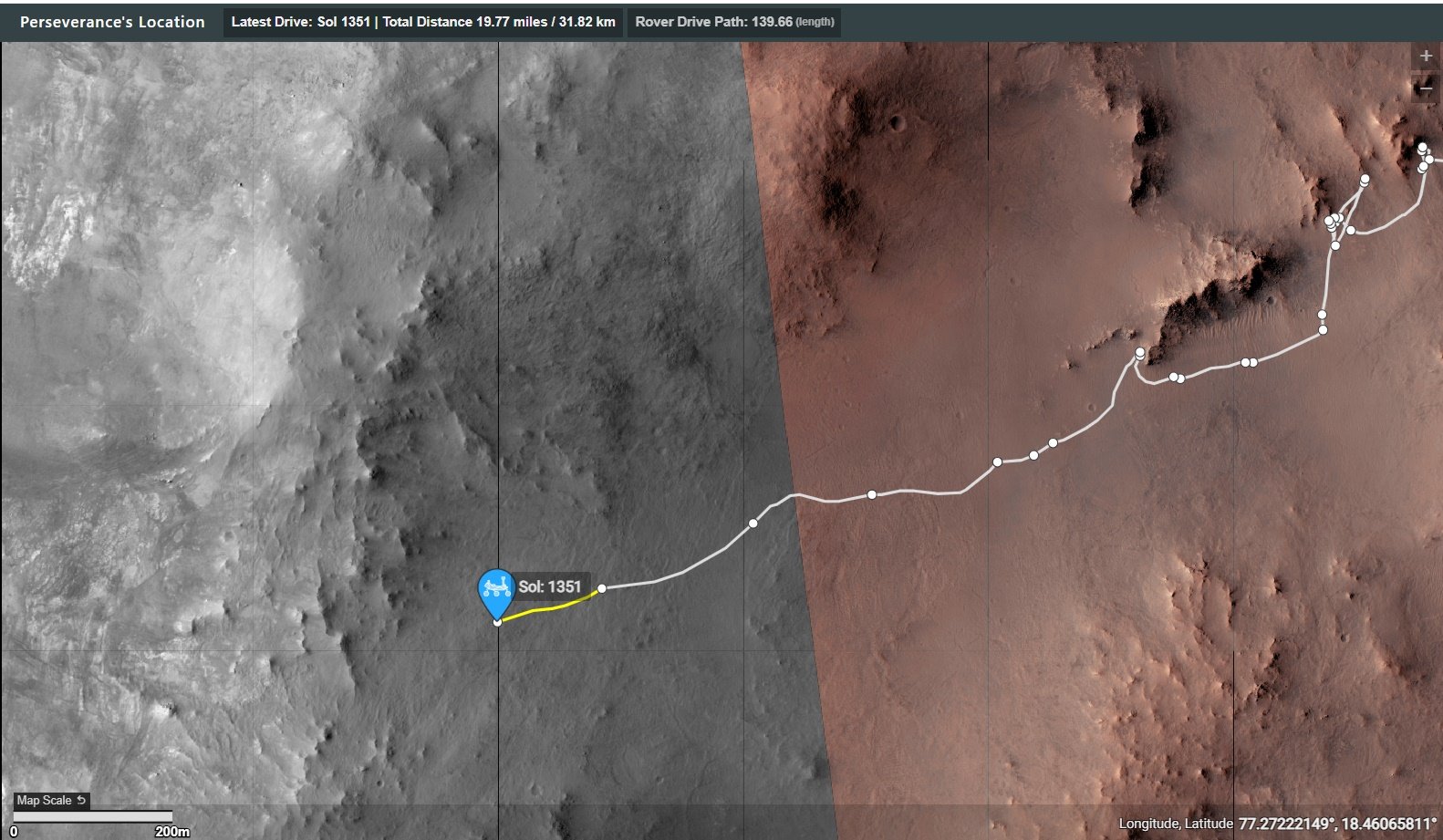
Screenshot of the JJPL map.
The 1351 traverse is highlighted in yellow

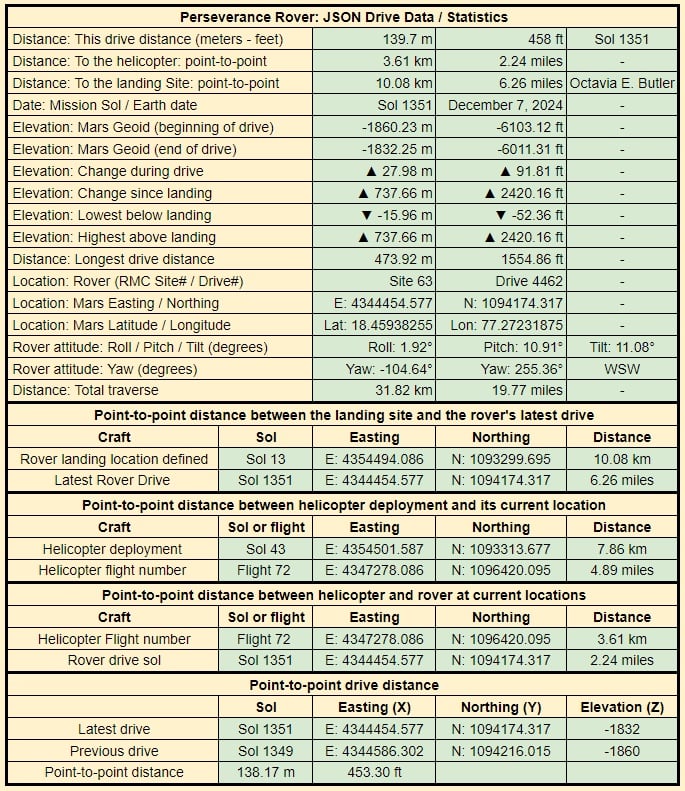
Drive data, the official climb was just under 18 meters. The distance was close to 140 meters :)
A couple more drives and we could reach the summit, but there’s a few rocky outcrops that may warrant investigation by the science team before the top.


